709-218-7927 The Landfall Garden House 60 Canon Bayley Road CANADA A0C 1B0 |
|
|---|
.JPG)
The Black River at Baldwin
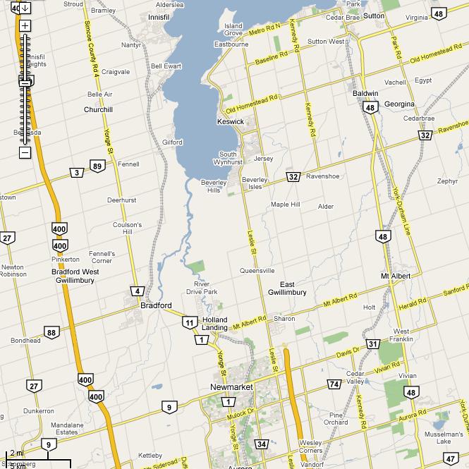
The Black River at Baldwin is an easy run up Highway 48, and is on the way to the Black River at West Sutton .
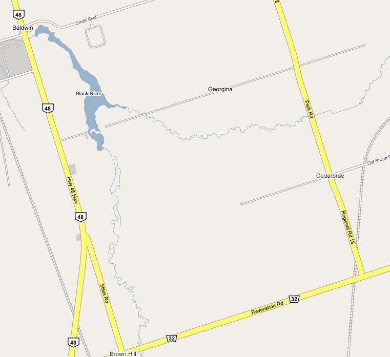
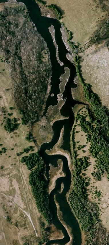
The area is bounded by Highway 48, Smith Boulevard, Park Road and Ravenshoe Road.
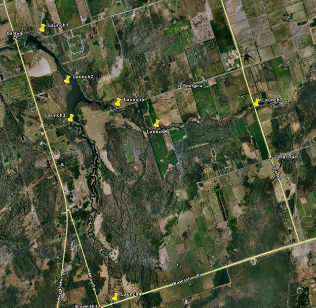
Potential launch spots suggested by Google Earth (launch 1-7) can be compared from the Google Maps rendition above. Note and learn that launch 3 and Launch 2 both appear at the end of a road, but whereas the road to Launch 3 shows up on Google maps, the road to launch 2 does not. Launch 2 is on private property, and that is a private laneway. All that glitters is not gold!
Launch 1
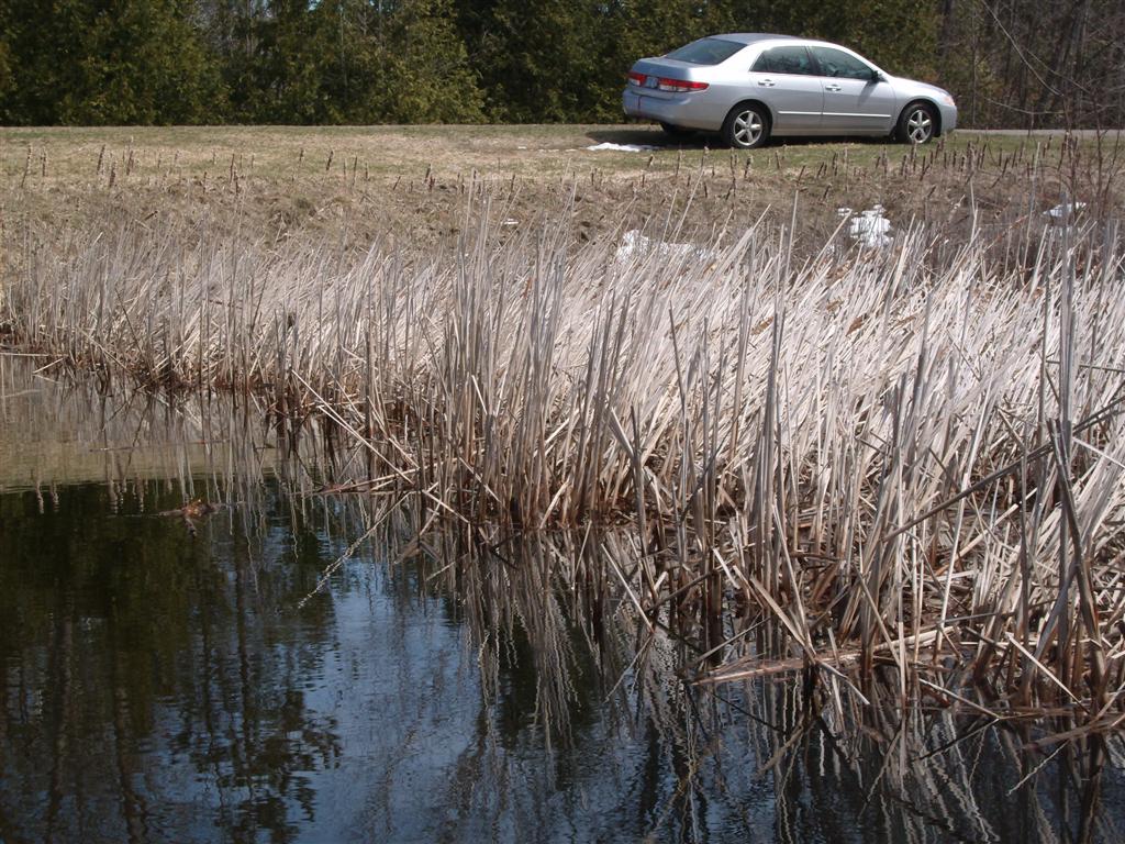
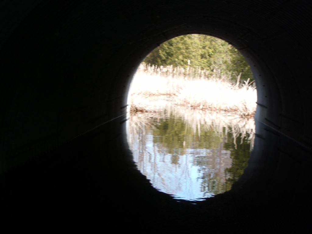
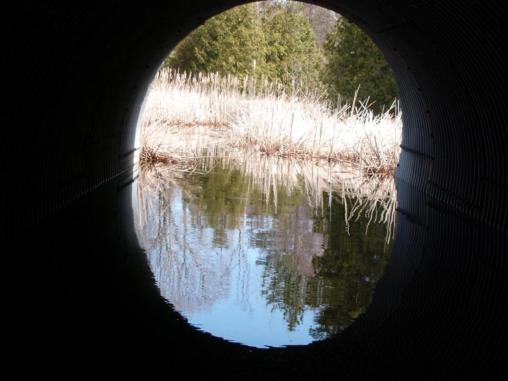
This is a candidate for launching. A five-foot culvert runs under the road from the airport, and this culvert leads into a channel about ten feet wide from which can be seen the dam and the lake formed by the dam.
Parking space is limited, but available on the shoulder of the quiet road.
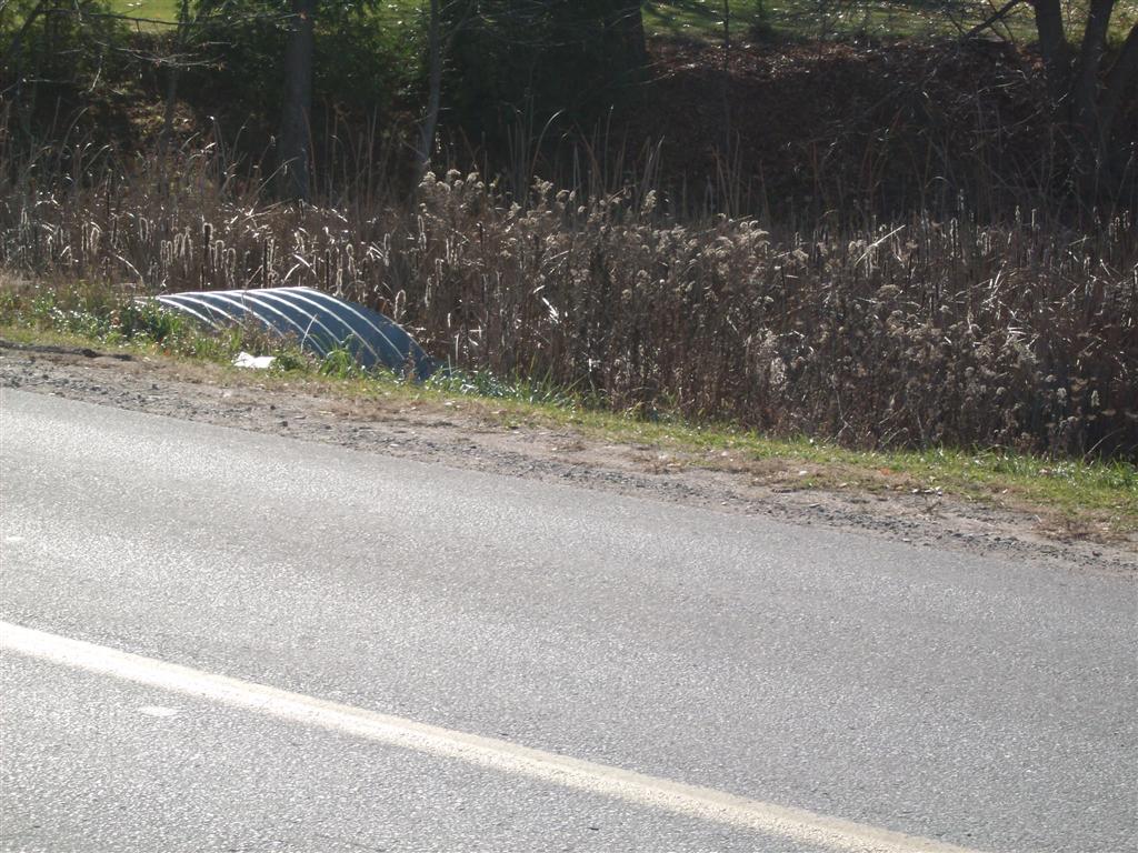
Hereĺs the culvert debouching, if I can say that, into a bayou.
Hereĺs the scummy launch point; launching would not be a problem. Avoiding scum on the clothes when hoisting the canoe out of the water might be!
Hereĺs the view down about forty feet from the culvert to the lake. Thatĺs the dam/weir in the background. Explore the dam then hang a left and go upstream towards Launches 3 and 5.
Launch 2
This spot is on a private lane.
Launch 3
The view from Launch 3 is quite appealing. On the far side the ducks/geese are paddling about quite happily waiting for us to launch and explore the reed bank.
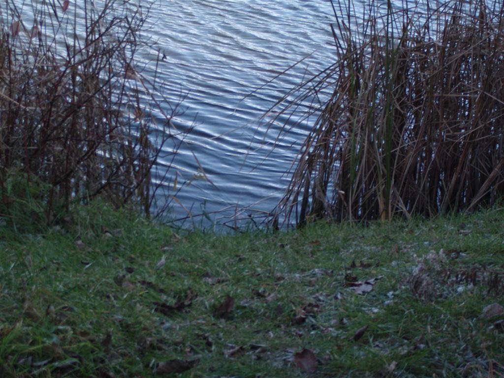
The launch looks quite steep, but it is not. Hidden out of sight is a small sandy area. Launch with the pointy-end into the water and walk along the keel.
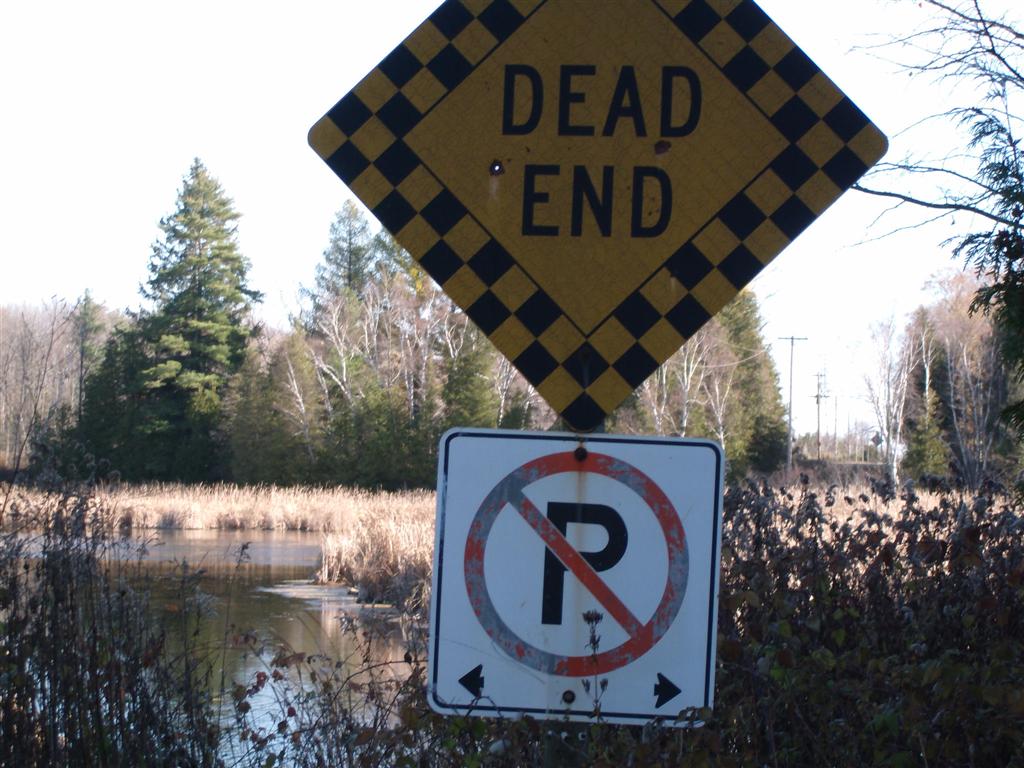
Hereĺs the killer: Dead End signs are always good, but the local residents have decided that they donĺt want canoeists parking here. The north side of the lane is littered with no-parking signs; the south side is not. You decide.
Launch 4
Launch 4 is from the bridge near Highway 48. the creek here is shallow, swift flowing, and generally uninteresting, unless you have a passion for small wildlife. On the north side of the bridge the creek flows towards the lake, but on the south side, rock and shallows about six inches only were evident.
The trick would be to launch in the lake and work our way up towards this point.
Launch 5
We ignored this, feeling that Launch 1 was as good a spot as any, and that we would explore this spot from the canoe.
Launch 6
Launch 6 is on a private road.
Launch 7
Christened by us ôCow Creekö on account of the nature of its surroundings. Small, narrow, not much more than a drainage ditch.
Friday, April 10, 2009
We elected to launch from launch spot 1 - the culvert adjacent to the airstrip about 1 quarter-mile from the junction of Highway 48 and Smith Boulevard.
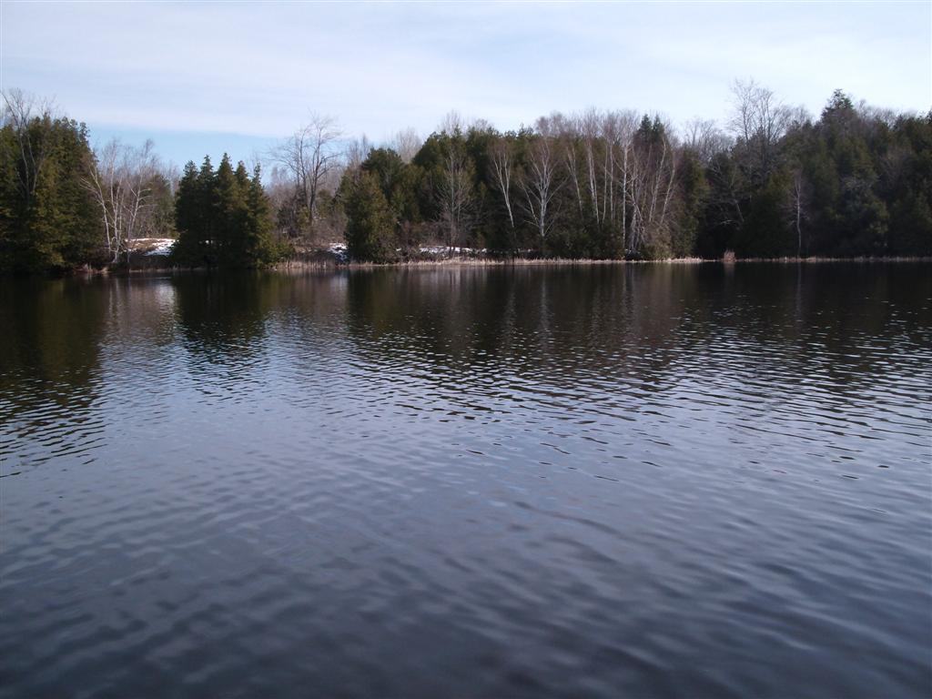
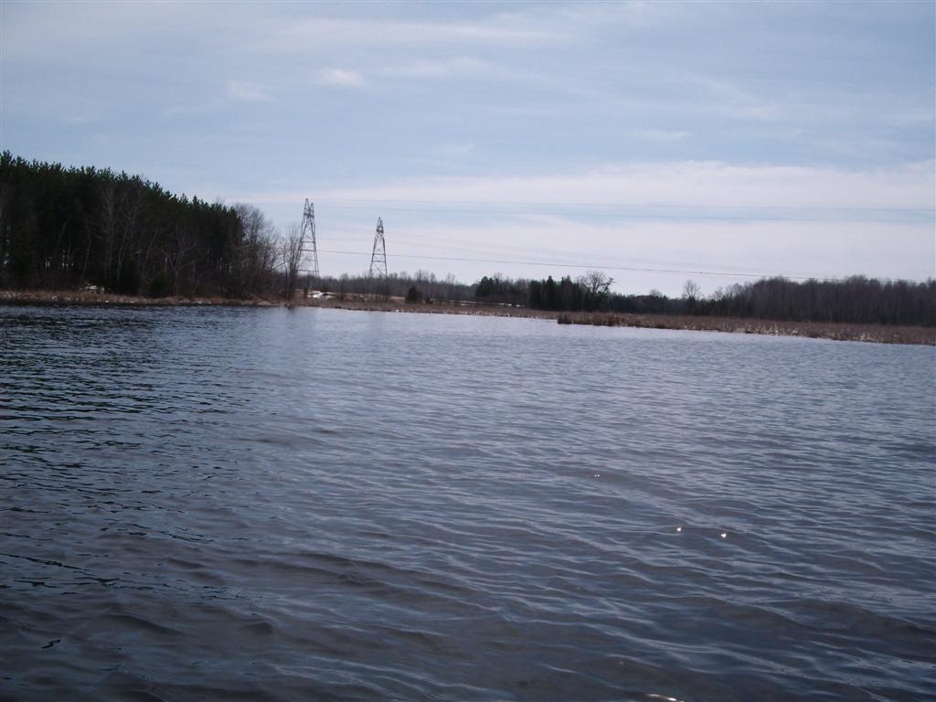
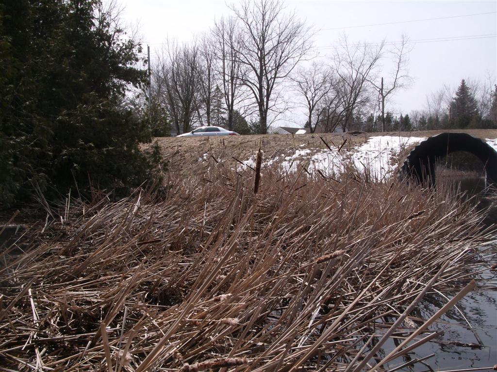
Here is a view from the edge of the road, looking down stream to the junction of the drainage ditch with the dam.
Yes, that is snow on the banks. The small patch of green, lower-right corner of the image, is the launch.
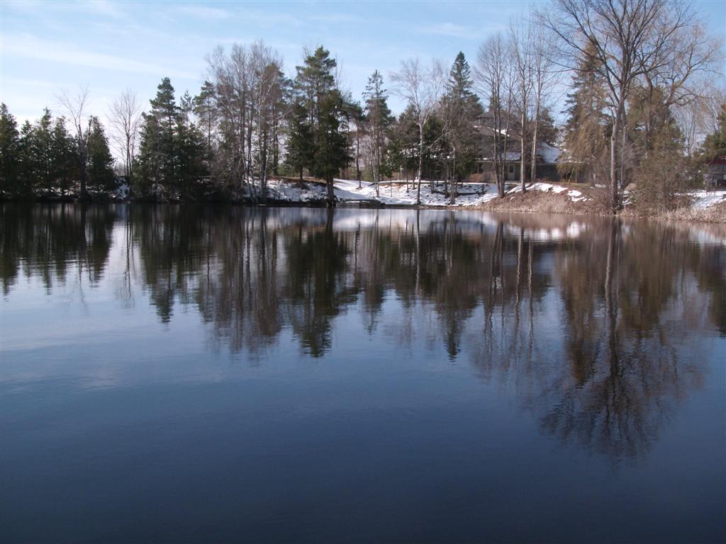
Once out into the small lake, we inspected the dam, and then headed upstream. At about ten-thirty this morning, the air is calm and crisp (anticipated maximum 9c today).
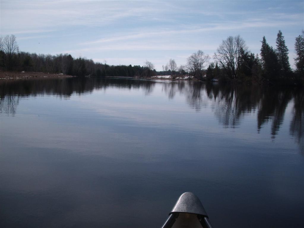
And off we go, heading southwards towards the point where the lake forks into two tributaries.
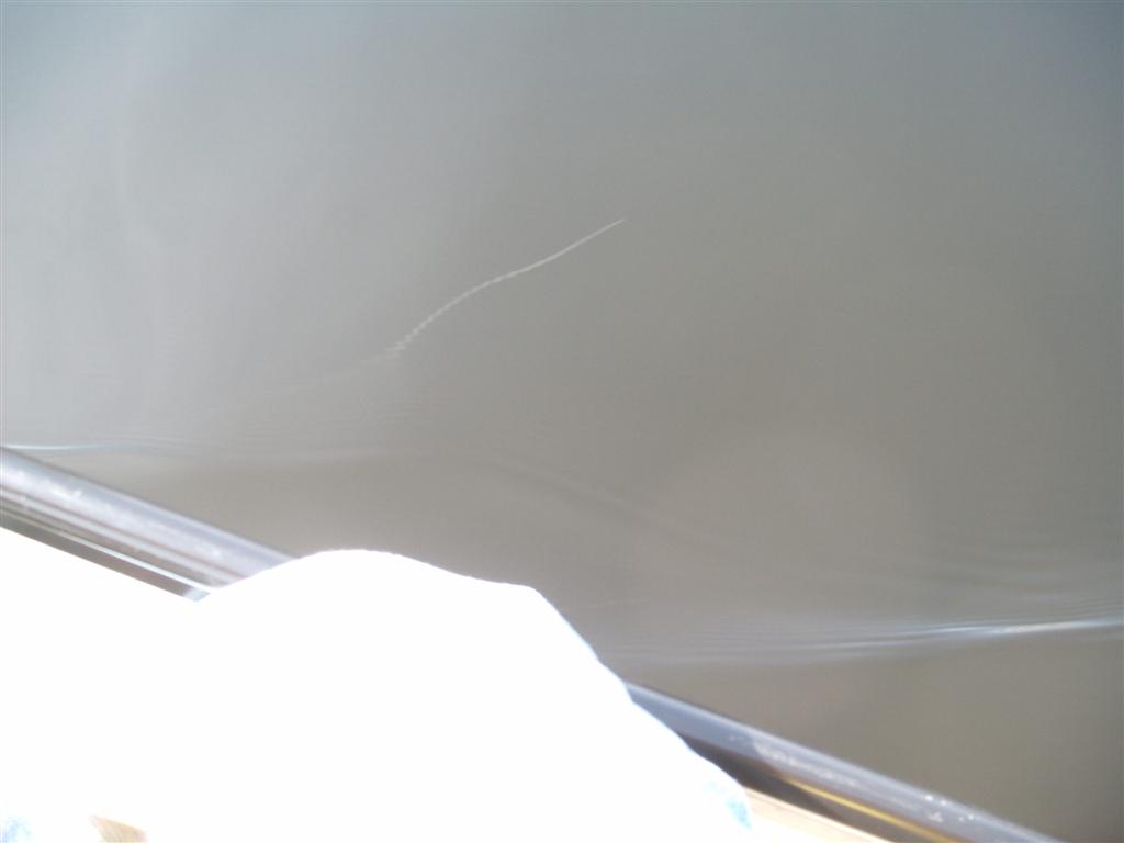
We pass over what, at first, I took to be a white PVC conducting cable on the left side of the canoe. Turned out to be the reflection of a jet's vapor trail. On the right side of the canoe, the reflection appears to be that of a sluggish but sensuous albino water-snake!
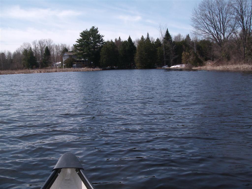
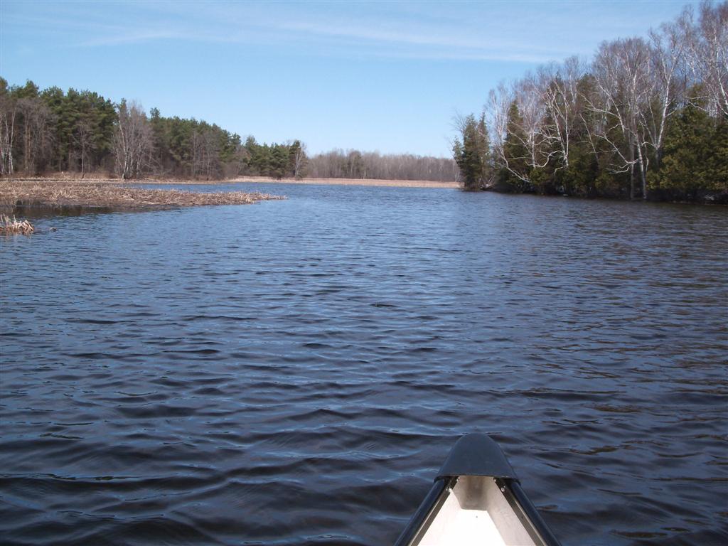
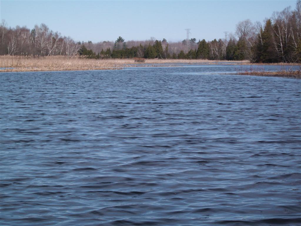
Another view of the lakeshore as we head south.
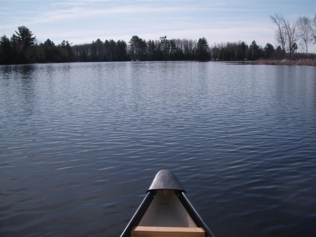
Another view of the lakeshore as we head south.
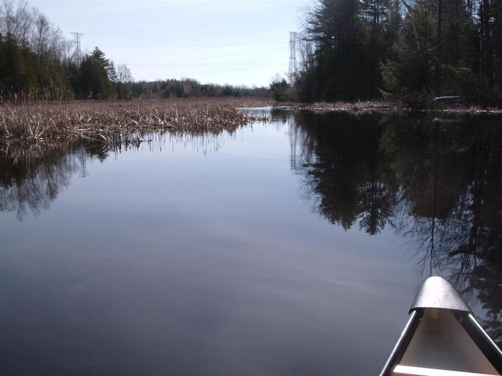
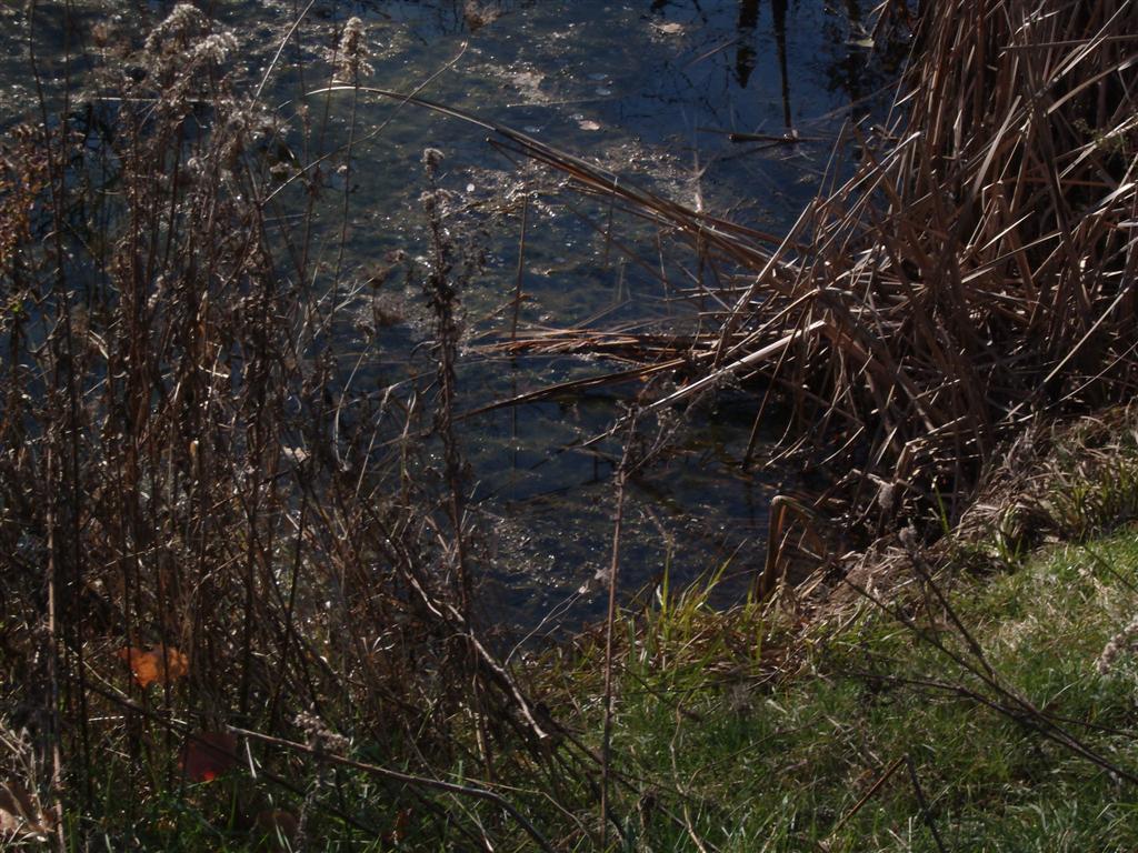
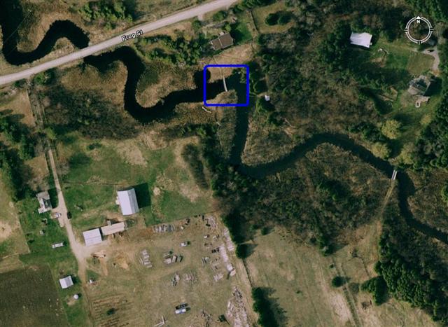
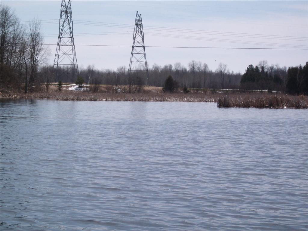
And into the left-hand, or truly, eastern tributary. Dense beds of dried reeds or bulrushes dot this creek. The power lines cross the creek at about 44.15.8.85N and 79.19.31.42W, just north of Frog Street.
As we approach Frog Street the beds of reeds are broken up and messy. Not our doing!
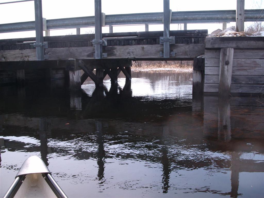
The Frog street bridge is low, but we believe we can duck underneath and continue upstream. There is a small current at this point in our journey.
Be aware of the sharp strong iron brackets projecting underneath the bridge.
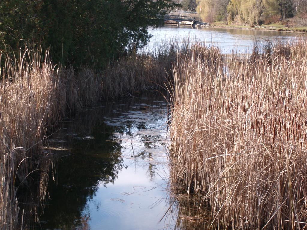
Sadly, about two hundred yards upstream, a decorative bow-bridge has been thrown across the creek inhibiting further exploration. A pity; the creek appears to be relatively scenic for this neck of the woods.
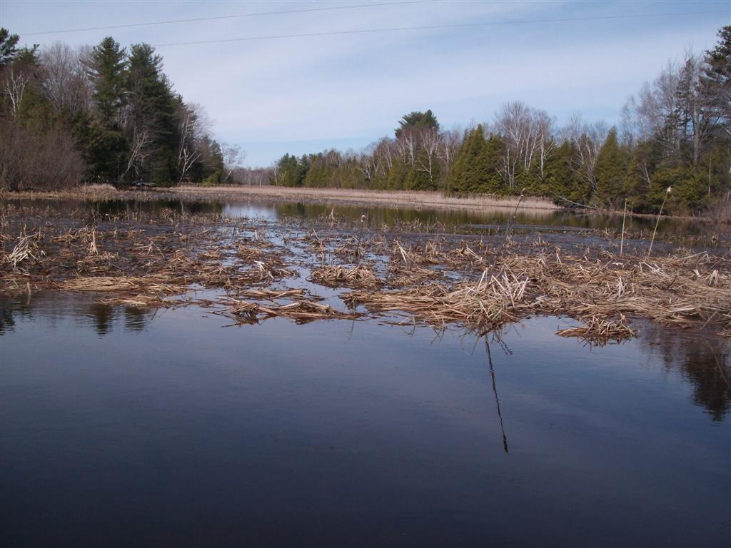
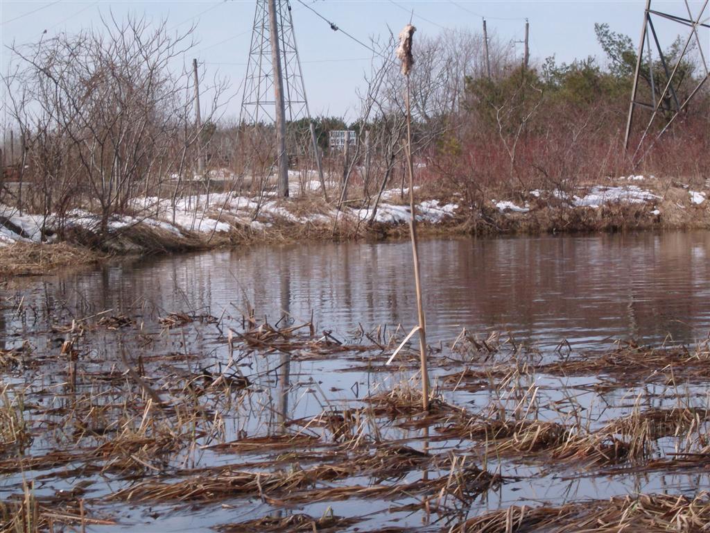
Back we go. Here is a view of more reed-beds.
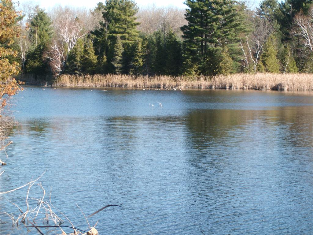
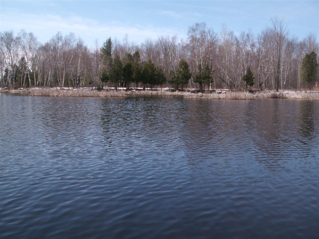
And so back into the lake, and with the fork on our left-hand side, we made our way along the shoreline to the western fork.
Same story. There are the power lines, and more reed beds.
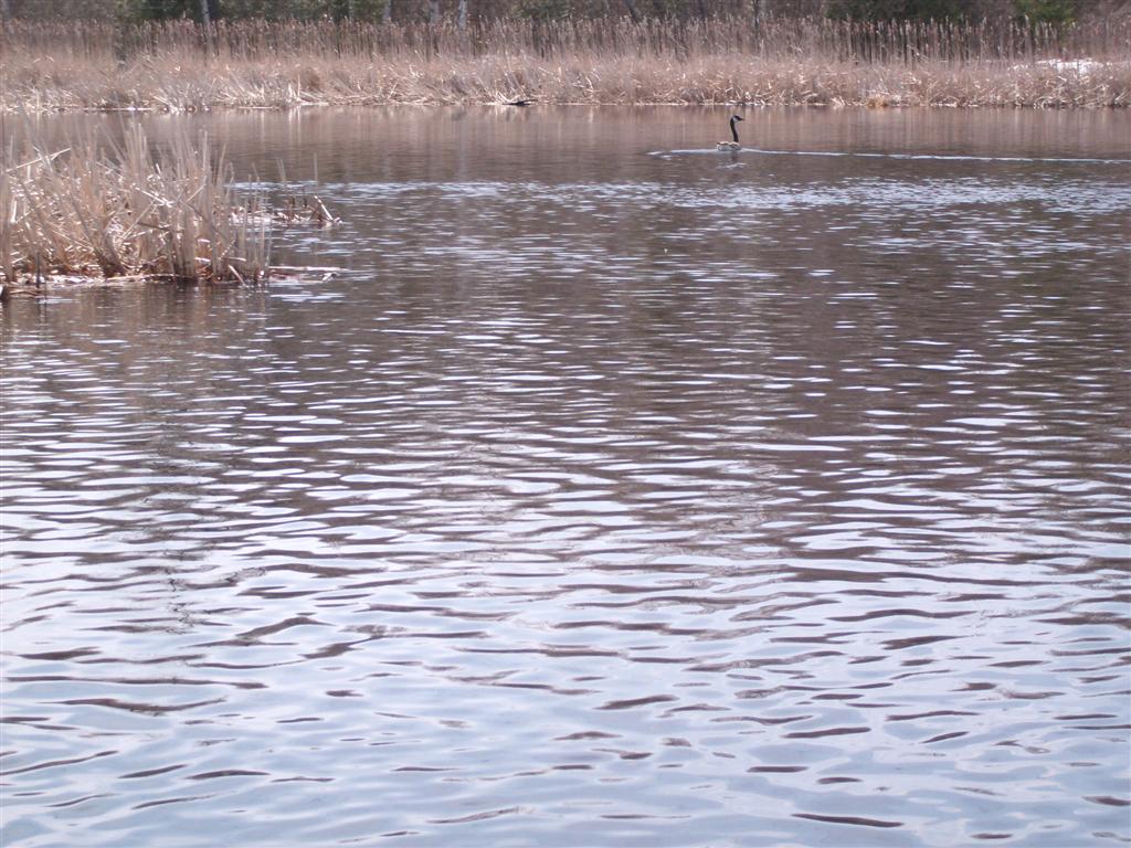
The Canada geese were almost a nuisance with their near-perpetual honking, and their habit of flying fifty yards upstream each time we approached, heralding our otherwise peaceful approach to whatever wildlife there was.
By now a little breeze has picked up, at our backs, from the North, helping us paddle upstream, although there is at this point no discernible current.
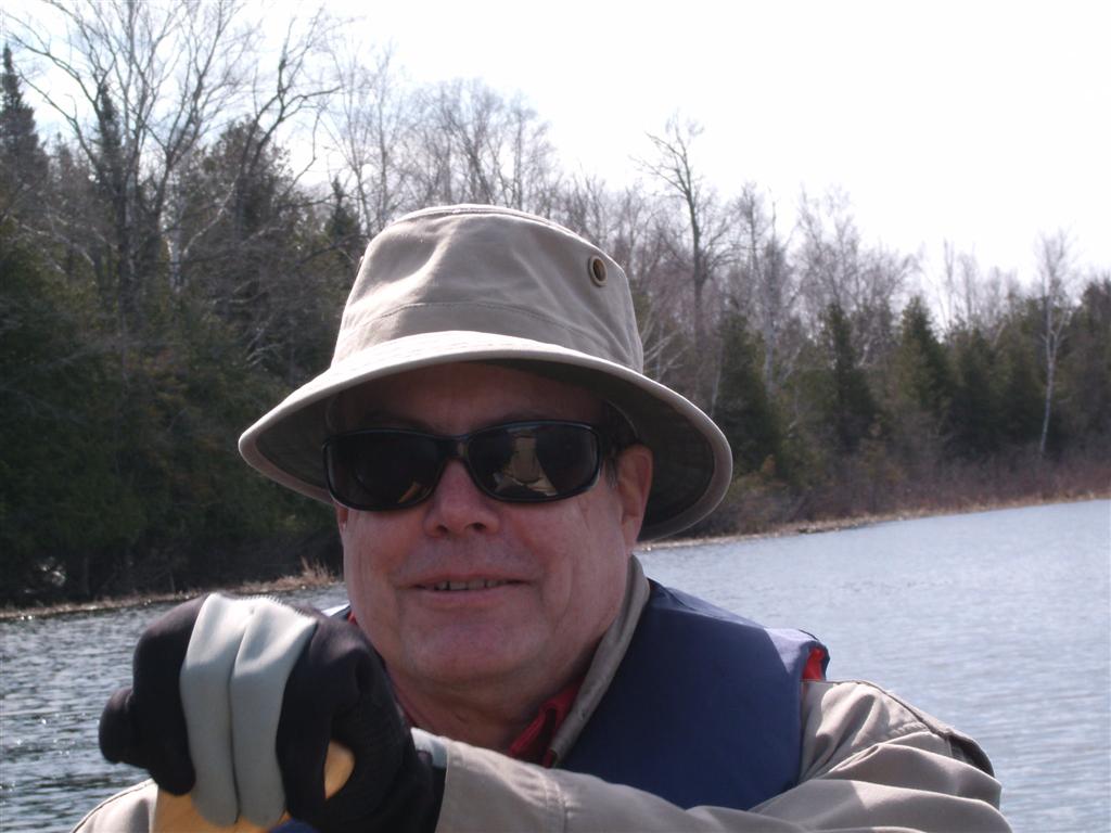
Today's "happy camper" shot. If this is you, phone us now to arrange your next canoe trip!
Note the life jacket. Itĺs no joke getting dunked into lake water when the snow remains on the shore. Besides, itĺs the law.
The stream course meanders through reed beds, but makes for an exercise in steering.

We made the (harmless) mistake of trying to crash through a narrow neck of reeds, but quickly ground to a halt, and had to push out backwards with the paddles.
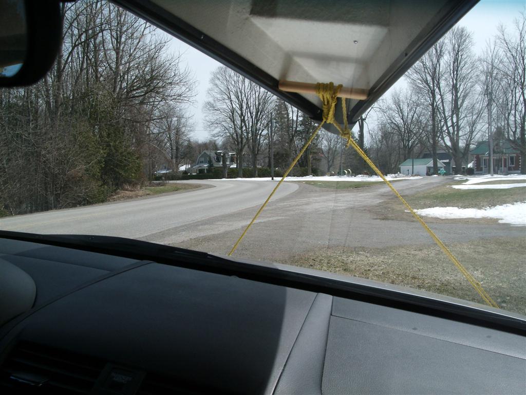
Returning to our launch spot, we are as usual relieved to find that the car is still there, pulled off onto a grassy shoulder.
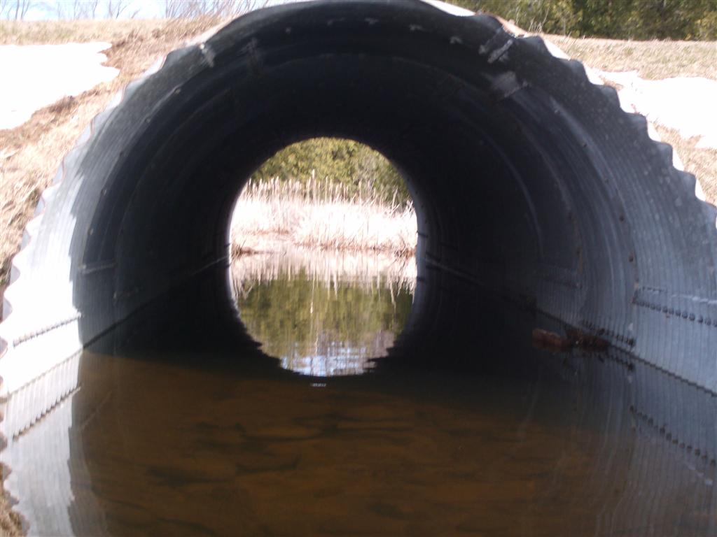
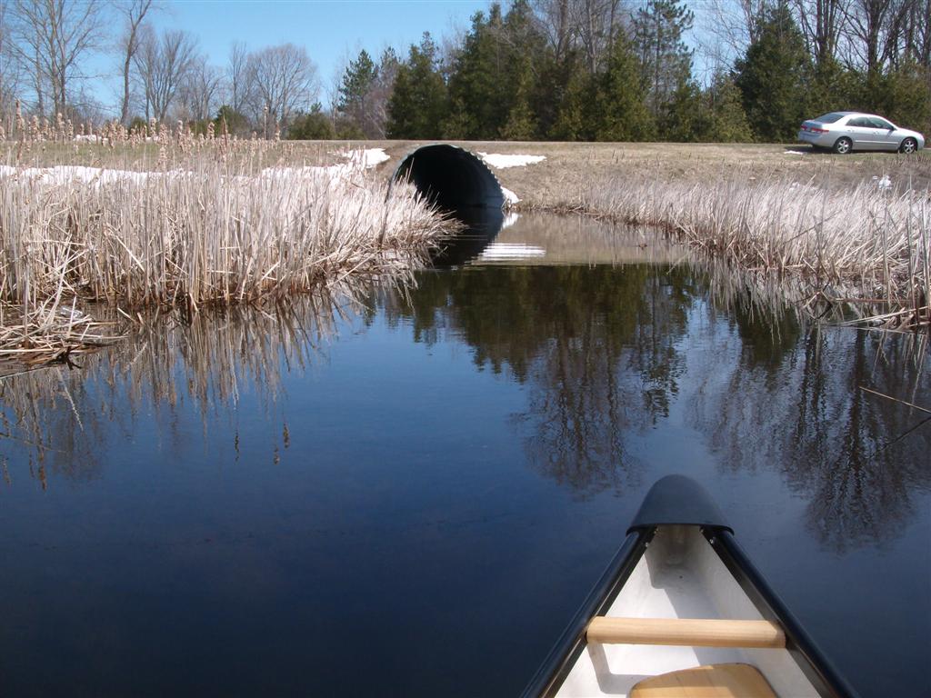
On a whim (mine!) we elect to travel through the culvert. It is not a five-foot culvert, it is more like ten feet in diameter, plenty of room for us.
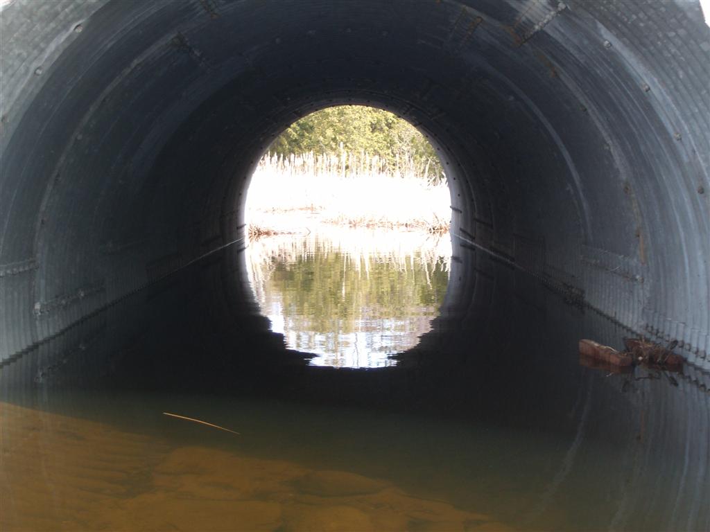
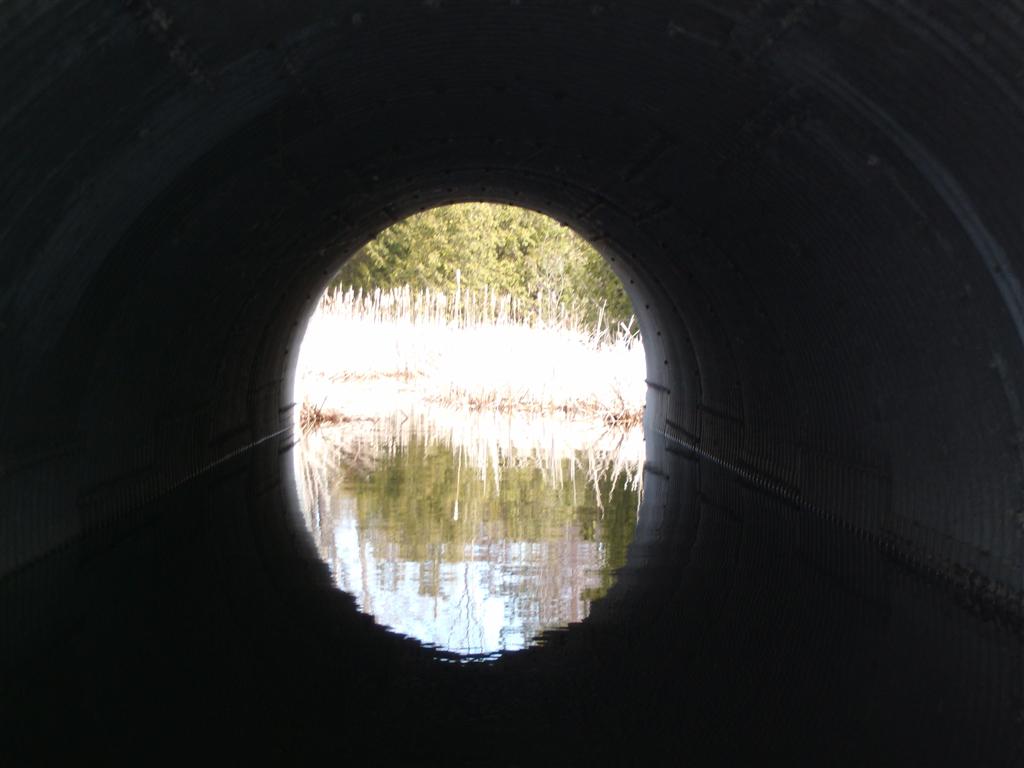
here we are on the eastern side of the culvert.
I took this shot to remind us of idiocy. A couple of minutes before, three or four ATVs zoomed around the bend in the direction we are facing, doing 60 KM/h at least. The second ATV used the left-hand side, and was a certain death had a vehicle been approaching around the bend. Sigh! Darwin Lives.
709 218 7927 CPRGreaves@gmail.com Bonavista, Friday, December 04, 2020 6:59 PM Copyright ę 1996-2020 Chris Greaves. All Rights Reserved. |
|---|